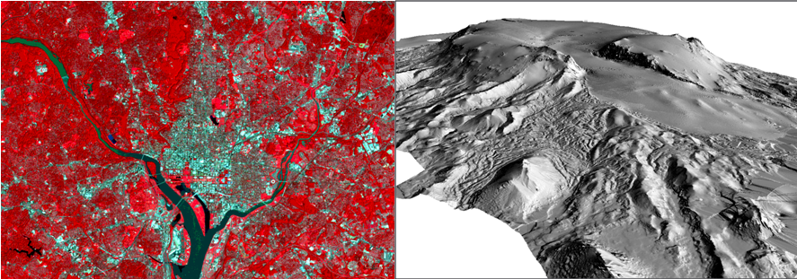
Do you need to work with satellite images or datasets that are gridded? By gridded I mean data that are stored in grid like cells such as heights of the earth (or a digital elevation model), a global land cover map or gridded populations of the world? There are many other gridded datasets available, e.g. climate data, maps of biomass, ecosystem services, etc.
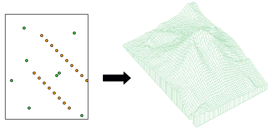
Or have you collected data using a GPS that you need to interpolate to a continuous surface like that shown below:
If the answer to any of these questions is yes, or if you’ve suddenly realised this might be useful for your research, then come and learn more about raster data and how to manipulate these datasets in a Geographic Information System (GIS). On 26-27 July 2012, Dr Steve Carver will teach a 1.5 day course at the University of Leeds on how to work with raster datasets using ArcGIS. This course is open to staff and students at Higher Education institutions in the UK and Ireland.
The course will cover the following topics with practical exercises throughout to gains hands-on experience with the concepts and the software:
- Introduction to raster modelling in ArcGIS
- Importing and converting raster data
- Point-surface interpolation
- Digital elevation models and terrain analysis
- Cartographic modelling (which allows you chain processes together in a work flow and automate your modelling)
You can register for the course on the TALISMAN website or email Amy O’Neill if you have any questions. Alternatively, if you catch this post after the course has taken place, contact Amy and let her know that you are interested in future courses.


