
ModelTube is the name of the project to integrate agent based modelling into MapTube. Back at the end of last year I did a blog post on how to integrate AgentScript with Google Maps: http://www.geotalisman.org/2013/12/18/bugs-on-a-map/. Following on from this, I used the AgentScript agent based modelling framework, which is based on NetLogo, to visualise the tube network in real time: http://www.geotalisman.org/2014/04/29/another-day-another-tube-strike/. Visualisation of real-time data using agent based modelling techniques makes a lot of sense, especially when the geospatial data is already available on MapTube anyway.
The following image shows a variation of the “AgentOverlay” class added as a new map type in MapTube:
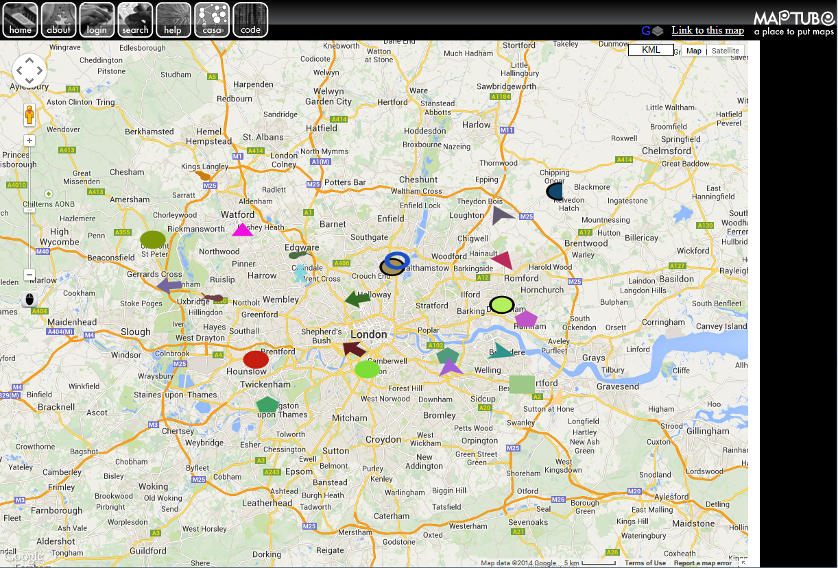
This is the same simple example of agents moving randomly around a map as in the “Bugs on a Map” example, except that this time it’s integrated into MapTube as a “code” layer. The idea of a “programmable map” layer that you can experiment with is an interesting idea. By allowing programmable map layers, users can upload all kinds of interesting geospatial visualisations and are not just limited to choropleths.
It’s going to be a while before this new map type goes live though, as there are still a number of problems to be overcome. The datadrop needs to be modified to handle the code upload, but the biggest problem is with the scripts themselves. The “bugs” example above is written in coffeescript, so I’m having to compile the coffeescript into javascript at the point where it’s being included into the page. I liked the idea of something simpler than Javascript, so I could give the user a command line interface which he could use to create a map with. Sort of like a JSFiddle for maps (MapFiddle?).
MapTube is actually quite clever in how it handles map layers. What it does behind the scenes is to take an XML description of the map layers and transform this into the html page that you see in the browser. This makes it very easy to implement a lot of complex functionality as it’s all just transformational XML to XHTML plus a big chunk of library code. At the moment, though, I’m stuck with how to separate code in different map layers, while still being able to call the layer’s initialisation and get the overlay back. Then there are the cross site scripting problems which are making it difficult to load the tube network and real-time positions. Hopefully, a real-time tube demonstration on the live server isn’t far away.